
Imagine making time-critical decisions to manage Australia’s vital seafloor habitats when you have little or no readily available information about them.
Now marine managers can dive into Seamap Australia, a one-stop data portal with the information they need to make evidence-based decisions to better manage and protect these precious habitats.
“This first-of-its-kind resource brings seafloor habitat maps and contextual data together in a single interactive web-based mapping platform and provides data summaries and analytics to support marine management,” said Institute for Marine and Antarctic Studies (IMAS) spatial analyst and Seamap project leader, Associate Professor Vanessa Lucieer.
“Examples of its marine management uses include identifying habitat types that are particularly vulnerable to marine pests moving in, creating inventories of marine assets to identify where especially rare or ecologically important habitats occur, and conducting environmental impact assessments before approving developments such as for oil and gas.”
 Seamap is underpinned by a seafloor habitat classification scheme that enables a nationally consistent description of Australia’s vast undersea habitats.
“Together, the portal and classification scheme create a marine decision support tool to help managers better understand, assess, and effectively manage Australia’s marine resources,” A/Prof Lucieer said.
Seamap Australia is led by IMAS at the University of Tasmania, and supported by government, industry, community and research partners around Australia. And while it is specifically tailored to meet the needs of marine managers, it is also a great resource for the research, education and community sectors.
 “Seamap curates a catalogue of data from a range of national sources, and synthesises the current state of research knowledge within and around Australian Marine Parks and other key management boundaries,” said Senior Data Analyst and Seamap technical lead, Dr Emma Flukes.
“The result is a rapid, consistent, transparent and near-live summary of the data collected across space and time for a specific region – which means managers can understand where to best invest research dollars in data collection and processing. It’s about facilitating knowledge gap analysis and identifying opportunities.”
The new Seamap Australia website offers a revamped mapping portal, as well as in-depth information and resources such as a visual habitat classification guide that delivers state-of-knowledge summaries for defined marine biogeographic regions of interest to marine managers, particularly for Australian Marine Parks.
“Scientific research and data underpin our management of all Australian Marine Parks, which cover more than a third of Australia’s marine environment,” said Division Head of Parks Australia, Jason Mundy.
“We welcome this unique tool that allows us to make informed data-driven decisions to better manage Australian Marine Park assets and their unique diversity.”
This Our Marine Parks Grants project received funding from the Australian Government.
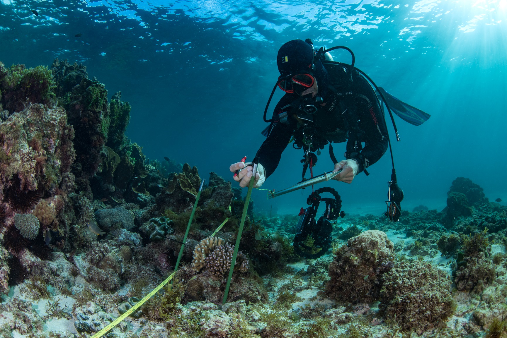
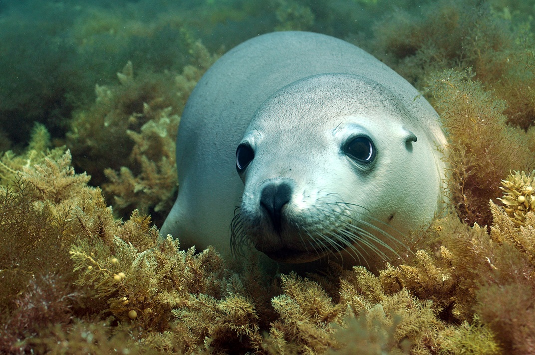
Images by Reef Life Survey (from top):
Published 23 May 2023
Institute for Marine and Antarctic Studies
Phone: +61 3 6226 6379
ABN: 30 764 374 782 CRICOS Provider Code: 00586B